

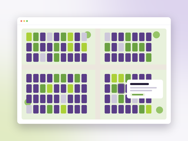
Paths, lawns, beds, buildings, car parks, heritage areas, trees, fences and walls are all part of the map, each with its own surface class and style.
The drawing is stored against real-world coordinates, so a 1954 plan and last month’s drone survey line up, and the backdrop can be swapped without a single plot moving.
- Plot labels by number or full reference
- Locked layers that cannot be changed by accident
- A safety check on any change that moves a lot of the map