
From archive plans to living maps: digitising your cemetery
Whether you start from a drone survey or a hand-drawn plan from the 1950s, here is how a cemetery map in Epilog Cloud comes together.
 The Gower teamGower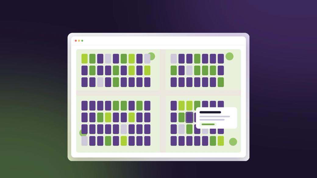
Most cemeteries have a register that is accurate and a map that is not, or a map that lives in a drawer. Epilog Cloud’s mapping turns the register from a list into a picture, and makes that picture useful: once a drawn grave is tied to its plot record, you can see what is free and book a burial by clicking the grave.
1. Start from what you have
Cemetery plans arrive in very different shapes. GIS files and drone surveys already carry their position and can be brought in directly. Aerial imagery usually does too. A scanned or photographed plan from the archive does not, so it is placed by hand: draw a line across something of known length to set the scale, let the site’s postcode put it in roughly the right place, then nudge and rotate it until it lines up with the real map underneath.
Whatever the source, the drawing is stored against real-world coordinates rather than the picture, so a 1954 plan and last month’s drone survey line up with each other, and the backdrop can be swapped later without a single plot moving.
2. Draw sections, rows and graves
Trace shapes corner by corner with the lengths and areas shown as you go, or stamp graves at a standard size from your registry. A row or a whole section can be drawn as a rectangle and filled with plots in one action, either at a fixed size, stretched to fit, or packed as many as will fit.
3. Tie the drawing to the register
This is the step that makes a map more than a picture. Assign each drawn grave to its plot record, or a whole selection at once, matching existing plots in order or creating new plot numbers in your council’s format. The order the numbers run in, left to right or serpentine, is up to you.
4. Let the map show what the register knows
- Colour plots by status (available, reserved or occupied) or by how full they are
- Label plots by number or full reference, straight from the register
- Pick a grave from the map when booking a burial
- Save every change as a version you can compare and restore
A map that is half assigned looks half assigned, with unlinked graves shown in their own colour, so you always know how far you have got.